

The Netherlands Plans a Century of Nature-Based Flood Defense
Wageningen, Thursday, 29 October 2026.
Facing doubling water management costs, a new Dutch blueprint proposes using natural landscapes alongside engineering to combat sea level rise and protect vital economic infrastructure.
Strategic Integration of Natural Systems and Infrastructure
On October 28, 2026, the Dutch knowledge and innovation consortium NL2120 officially presented its comprehensive strategic report titled ‘Natuurlijk kan het slimmer’ [1]. The initiative, supported by funding from the National Growth Fund (Nationaal Groeifonds) [2], models a forward-looking spatial paradigm for the Netherlands looking toward 2120 [1][3]. Presented by NL2120 Director Alex Hekman (who also serves as Business Director of Water at engineering consultancy Sweco), Professor Bregje van Wesenbeeck of TU Delft and Deltares, and Wageningen University & Research (WUR) climate scientist Tim van Hattum, the roadmap was formally handed over to Dutch policymakers [1]. The recipients included Mark Roscam Abbing, Director-General for Rural Areas and Nitrogen at the Ministry of Agriculture, Fisheries, Food Security and Nature, alongside Jaap Slootmaker, Director-General for Soil and Water at the Ministry of Infrastructure and Water Management [1].
Capital Allocation and the Economic imperative of Adaptation
The Netherlands currently commits roughly €10 billion annually toward flood protection, water safety, and broad climate adaptation measures [1]. However, this baseline expenditure is anticipated to double in the coming years as climate disruptions accelerate [1], which would elevate yearly adaptation expenditures to 20 billion euros [1][GPT]. The Dutch state faces an unprecedented territorial restructuring—frequently described as the largest domestic transformation since the Second World War—characterized by competing multi-billion-euro capital demands across residential construction, energy transition networks, sustainable agriculture, and habitat rehabilitation [1]. The report emphasizes that traditional hard-engineering grey defenses alone are increasingly unsustainable economically and spatially [1][3], prompting the Second Recalibration of the Delta Programme in 2026 to demand integrated land-use solutions [1].
Quantified Climate Scenarios across Five Dutch Landscapes
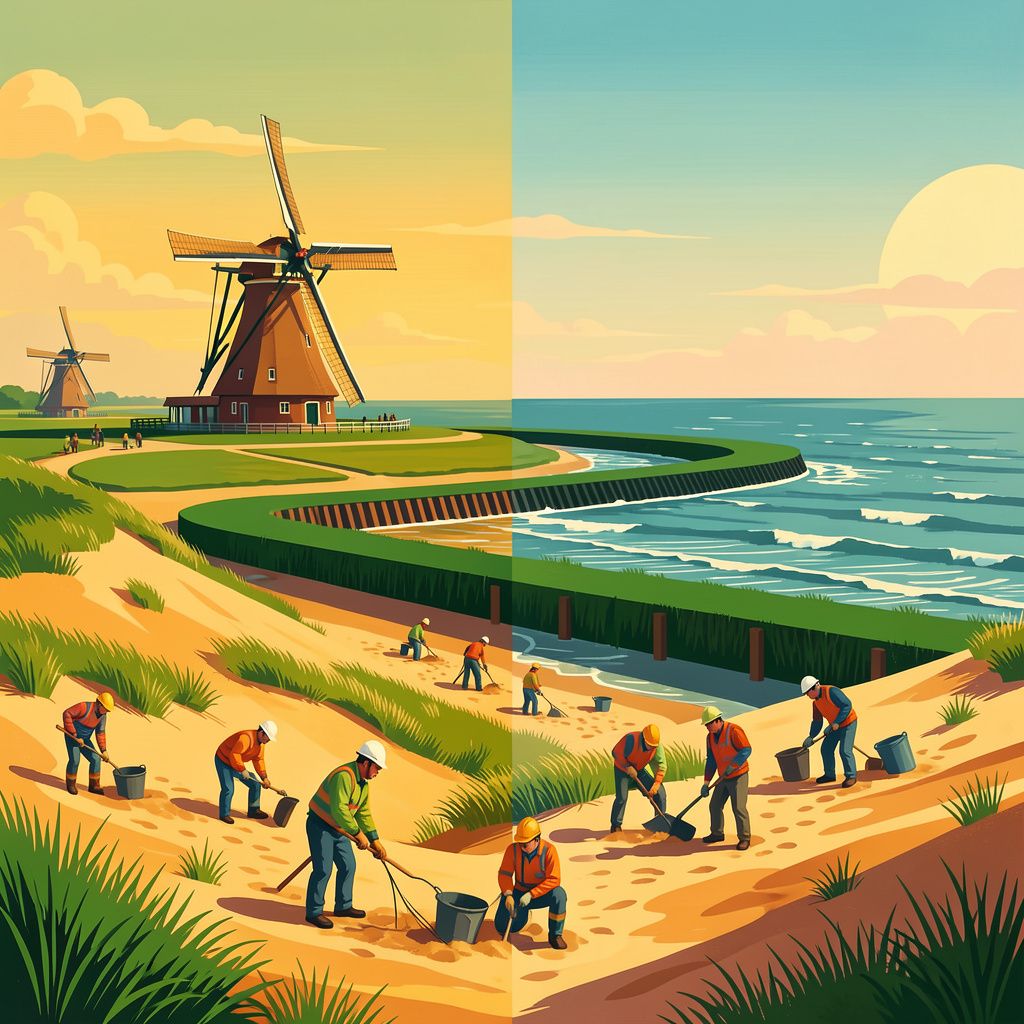
To construct its operational models, the cross-sectoral consortium—combining expertise from WUR, Deltares, Sweco, HKV, Arcadis, Fugro, One Architecture, and nature organizations like Natuurmonumenten and Staatsbosbeheer [1][2][6]—utilized the Royal Netherlands Meteorological Institute (KNMI) warm climate scenario from 2023 [1][6]. Projections incorporate a calculated sea level rise of 1 meter by 2100 along the North Sea coastline [1][6]. The resulting framework divides national spatial adaptation across five distinct landscape typologies: coastal dynamic zones, river corridors, peatlands, sandy upland soils, and urban agglomerations [6]. Along the coast, developing dynamic dunes, salt marshes, and tidal mudflats allows protective natural landforms to accrete elevation organically [1][6].
Expanding River Capacity and Rural Sponge Dynamics
Along inland waterways, the NL2120 vision proposes broadening river valleys and floodplains to capture extreme discharge peaks without breaching structural dykes, while reducing riverbed erosion to preserve navigation channels during acute summer droughts [1][6]. Further inland, the sandy soil landscapes are scheduled to restore natural stream basins to function as national ‘sponges’ [6]. By decelerating headwater run-off across entire catchment basins, these regions can retain water against prolonged regional dry spells while dampening sudden downstream surges [6]. In urban cores, the framework integrates network-wide green-blue corridors, urban forests, and retention roofs to mitigate urban heat stress and buffer violent storm precipitation for millions of residents [1][6].
Peatland Restoration and Carbon Mitigation Targets
Peatlands globally cover merely 3% to 4% of terrestrial ground yet sequester twice as much carbon as the entirety of global forest biomes [2]. With approximately 500,000 hectares of global peat drained or degraded annually—contributing nearly 4% of total anthropogenic emissions [2]—the restoration of Dutch low-peat swamp ecosystems represents both an ecological and spatial asset [2]. The Netherlands currently possesses roughly 15,000 hectares of low-peat swamp environments spanning Noord-Holland, Zuid-Holland, Utrecht, Overijssel, Groningen, and Friesland [2]. National hydrological models indicate that approximately 94,000 hectares of additional rural water storage will be needed by 2050 to manage excess volumes [2].
Financing Nature-Based Transitions and Long-Term Viability
Targeted interventions, including an initiative by Staatsbosbeheer to rewet 5,000 hectares of peat soils prior to 2030 [2], aim to raise polder water tables [6]. This step actively halts peat oxidation, ends foundational structural damage from ground subsidence, and cuts significant agricultural greenhouse emissions [2][6]. Transitioning these spaces also opens pathways for blended financing models, mirroring international pilots where commercial and regulated utility capital is channeled into landscape-scale resilience contracts to relieve public expenditures [7]. By deploying nature-based methods that treat ecological systems as primary design foundations rather than constraints [1][3], NL2120 outlines a multi-decade transition that stabilizes national defenses while mitigating escalating infrastructure costs [1][6].
Bronnen
- www.wur.nl
- www.nl2120.nl
- landenwater.nl
- www.instagram.com
- www.instagram.com
- www.instagram.com
- www.ecoshape.org
- www.linkedin.com